
Virtual reality (VR) and augmented reality (AR) are areas of technology that have seen rapid development and growth over recent years. You can find it used in the commercial space for entertainment, as well as in various industries for research and development. VR simulations are especially effective for design and planning purposes, because the tool allows users to visualize project outcomes and potential errors. This article focuses on industry applications, specifically in the geospatial end, where you’ll see the use of VR and AR in areas like infrastructure and urban design.
Overview
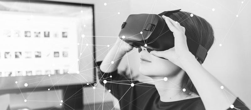
If you’re reading this article, you’ve likely already read this one on visualizing and interpreting geospatial data through VR and AR. In brief, standard VR technology requires a headset showing 3D images that can be interacted with from the user’s perspective; it is a simulated experience where the user is completely immersed in a computer-generated space. On the other hand, AR is an experience that is a cross between the virtual and real world, where reality is complemented by virtual objects that are overlaid with the surrounding environment.
3D Models & Terrain Data
VR can help users better conceptualize projects and landscapes. If you are using VR technology to create a simulated experience that replicates real life, the 3D models that the VR experience is built on need to be accurate to ensure that the information is being displayed and communicated properly. For geospatial related uses, you want to ensure that the location, building, and terrain data in use is current and detailed in order to minimize errors and improve user experience. The closer the geospatial data is to the real-world counterpart, the more valuable and useful the simulated experience will be.
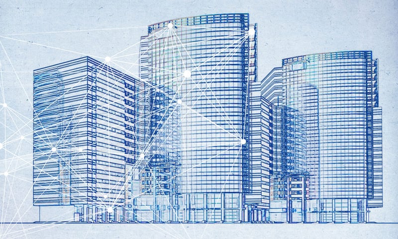
VR Applications: Infrastructure
You can visualize spatial data in an intuitive and interactive way using VR, which is valuable because it helps the user to conceptualize the details in the space around them. With VR and detailed terrain data, accurate planning for infrastructure can be done effectively and efficiently. Civil engineers can use VR to simulate realistic contexts of their projects, giving them the opportunity to gain valuable insight into the project as it is being completed. Before workers start construction, the process can be first designed in a 3D model to be used in a VR experience. These 3D models can be viewed from a first-person point-of-view using a headset to give a clearer picture of the planned project and its predicted results. A model or a 3D printed model alone does not give the same effect as a simulated VR experience. So, by rendering these models to be viewed through a VR headset, the environment and situation of a project can be made immediately clear to all parties involved.
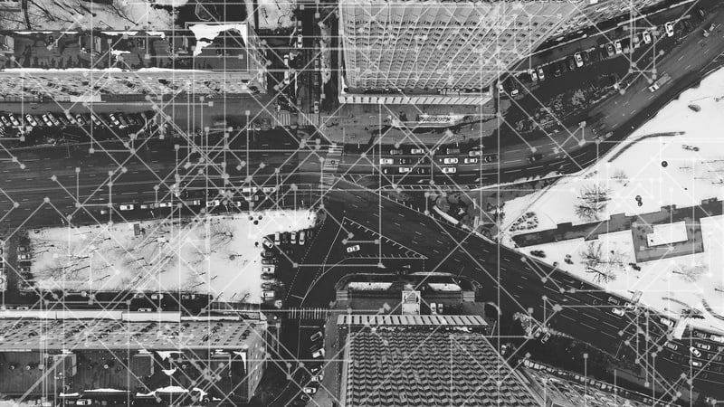
AR Applications: Urban Design
There are a range of possibilities when it comes to utilizing AR in urban design and planning. For architecture and construction work, AR can assist workers in identifying and planning around existing networks, like electricity, gas, and sewage, and help stakeholders and members of the community envision potential changes. Additionally, constructing new buildings in commercial areas may also impact the flow of traffic, and AR can be used to help visualize traffic patterns as they change.
Those employed in public works can also use AR to call up data on-site to detect possible hazards and other relevant facility or network information. AR is not only useful for envisioning observable changes, but also for foreseeing and planning around potential issues in infrastructure.

COMMENTS