
Virtual reality (VR) and augmented reality (AR) are innovative and growing spaces in technology. These tools are becoming increasingly popular and integrated into the different aspects of our lives, from commercial uses in entertainment to industry application in research and development. On the geospatial side, you’ll see the impact of VR and AR in fields like geography, architecture, and urban design. To fully grasp the value it brings to these different spaces, we first need to understand how it affects the way we visualize and interpret geospatial data.
What Is It?
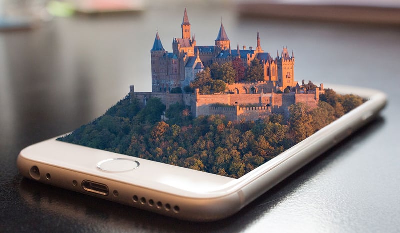
VR is a simulated experience where the user is completely immersed in a computer generated space, in which the user can interact with the surrounding digital environment. VR offers a different look at how information is visually represented, therefore, the level of detail present in the information is vital as this space is completely virtualized.
AR, on the other hand, creates a space that allows users to interact with their physical surroundings, which is achieved through using virtual, computer generated information. It is an experience that is a cross between virtual reality and the real world, where reality is complemented by virtual objects that are composited or overlaid with the physical environment.
Visualizing Geospatial Data
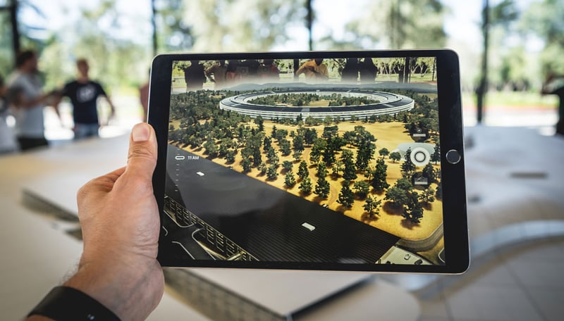
The development of AR technology offers us new ways to visualize information and interact with our world. When it comes to geospatial data specifically, AR affects how maps are imagined and used, and impacts how we read this information. For instance, the AR mode in Google Maps improves the usability of the app by making navigating around on foot more intuitive.
The impact of AR is also seen in how digital elevation data (DEM) is represented and interpreted. For DEMs, it is in the representation of landscape, such as hills, mountains, shapes, slopes, and elevations. An augmented map is a graphical user interface for spatial data and may be the future of how we analyze digital data, akin to how 3D modelling enhances how flat maps, with only 2D representations, are read.
Interpreting Terrain Data
VR technology used as a tool of representation can enhance how terrain elevation is visualized to help improve our interpretation of 3D features, and therefore, our understanding of it. VR can help users better conceptualize the landscape, more clearly recognize spatial details, and interpret feature height and depth. The elevation data itself also needs to be accurate and have sufficient spatial texture to ensure that the information is being displayed and interpreted properly. The closer the terrain data is to the real-world counterpart, the more valuable and useful the simulated experience will be.
AR also allows for movement in a real environment, and movement is a key factor in improving spatial orientation, which is the orientation of oneself in respect to the environment. This is important because by making terrain representation and spatial orientation more intuitive, geospatial data is more easily read and understood.
There are many applications of VR and AR in landscape visualization and environmental assessment, and we will discuss some of the uses of this technology in the next article.

COMMENTS