
High-accuracy earth observation data is an integral part of planning and designing a wireless network. It's no wonder that the field of geomatics has become a fundamental part of the telecom industry; as more and more companies are realizing the benefits of applying geomatics in telecom – which is evidenced by a proven growth in the industry (currently estimated to continue its growth by 11% per year1). In this series of articles, we'll explore why earth observation data is critical to network planning by breaking down the key components of a successful link plan.
Link Planning 101
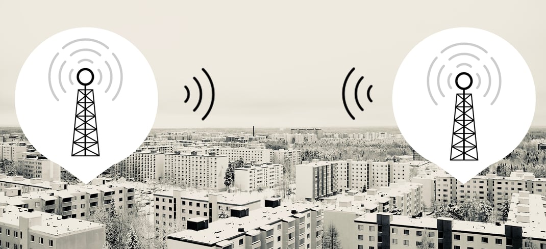
To understand the value of geomatics in telecom, we need to understand the factors in one of the most common use cases: Microwave Link Planning. For this, we have two antennas set in two different locations, with the goal of linking them. An example might be linking a data center to a satellite office in the suburbs via a rooftop antenna – a common application for a Wireless Internet Service Provider (WISP).
Frequency & Signal Strength
Radio frequency (RF) and microwave signals radiate from antennas. Antennas are very complex devices, and help direct the RF energy into specific areas; this is known as a beam pattern. Two factors in this process are the frequency and power levels that are being transmitted. Here are the quick facts:
- Antennas are specifically designed to focus signals to where they're needed
- Antennas are not perfectly accurate
- The higher the output power of the signal, the farther the signal can travel and create better links
- Higher frequency signals have higher available bandwidth
- Higher frequency signals are more susceptible to environmental factors
- Higher frequency signals do not penetrate obstacles well (or at all), and may be heavily attenuated by atmospheric effects, such as inclement weather conditions
In Comes Geomatics
The goal of a link is to direct as much signal power as you can to your destination. And now that we understand basic RF characteristics, there are many factors that determine if such link is practical. A distinction between a possible link and practical link is made, as often a weak link is possible, but not useful. Key factors that affect link practicality are:
- Location and Atmospheric Effects: variables such as distance between antennas and weather that may impact performance
- Terrain and Clutter: factors like obstructions due to terrain, obstacles, and other surface features
This is where geomatics and earth observation come into play. In the following articles, we'll explore the applications and types of data that can be used to accurately model networks.
1https://www.alliedmarketresearch.com/GIS-in-telecom-sector-market

COMMENTS