
In January 2024, Intermap won a $20 million contract to map the Island of Sulawesi, Indonesia. The contract is the first phase of the Indonesian national topographic basemap program to create a national digital basemap as part of the One Map program. Intermap will utilize its aircraft to collect Interferometric Synthetic Aperture Radar (IFSAR) data and cloud-free imagery over the entire island, covering more than 180,000 square kilometers. The collected data enables the production of topographic maps. No other company can meet Indonesia’s technical requirements within the budget and timeframe allotted by the contract.
This award represents 10% of the country’s land area and 10% of the One Map program. It demonstrates the high degree of confidence Indonesia has for Intermap’s unique airborne IFSAR collection and processing capabilities. Follow-on work is expected over the subsequent four years to complete the remaining 90% of Indonesia’s land area, supporting the country’s national infrastructure program and long-term development.
Intermap has an exclusive partnership with the subsidiary of a state-owned enterprise, PT Pratama Persada Airborne (PPA). The partnership combines Intermap’s cutting-edge, patented IFSAR collection technology and data processing expertise with PPA’s extensive local knowledge, resources and government support. Together, the companies provide an unparalleled mapping solution for this first phase of the Indonesian national mapping program and future work under the One Map program.


Intermap’s IFSAR technology has been recently approved by the Indonesian government as a technology capable of achieving the required basemap standards under its national mapping program.
Basemaps are created by combining high-resolution, high-quality remotely sensed data in the form of imagery with a digital elevation model (DEM). Buildings, roads, water, land cover, contour lines, terrain slope and other terrain details are then extracted from the collected data.
Indonesia plans to commercialize the data and Intermap is uniquely positioned to contribute its extensive experience and capabilities to create exploitation tools for applications such as flood mapping, navigation, resource management and infrastructure monitoring
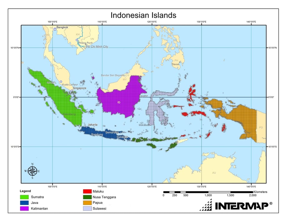
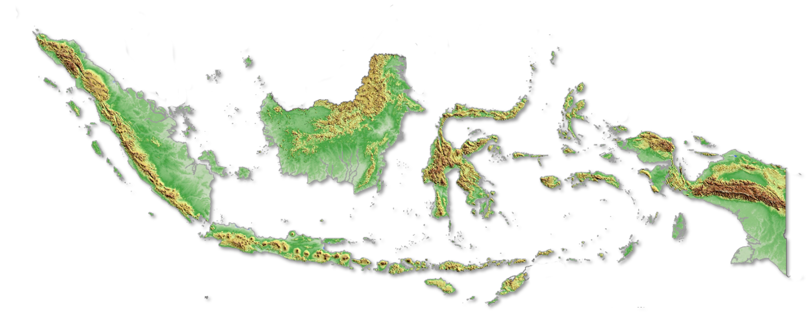
Indonesia is made up of over 17,000 islands
Intermap’s aircraft is equipped with foliage penetrating radar technology
IFSAR is necessary to map through Indonesia’s dense tropical forests
Intermap’s aircraft on a mission in the South Pacific
Dense mangrove forests are found all over Indonesia
Indonesia has hundreds of volcanoes spread across its islands


