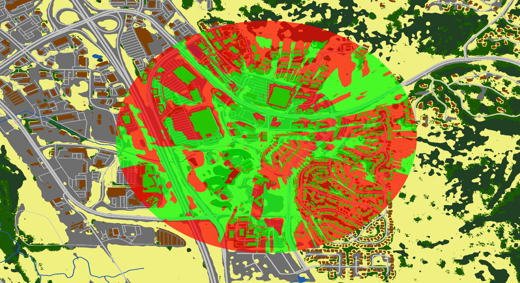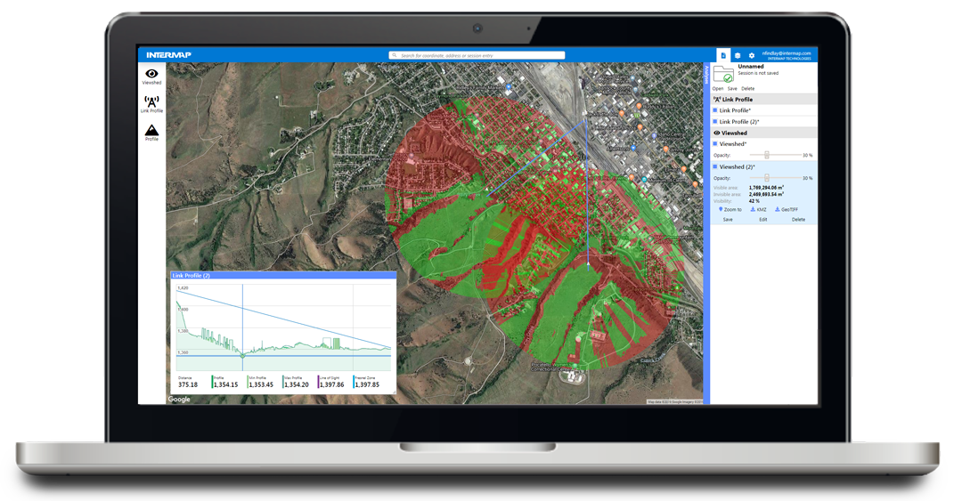
Our Telecom Solution Suite leverages the best available NEXTMap® datasets for network planning. With the 5G rollout and competitive wireless landscape, telecom companies need link planning with high-spatial detail, global coverage, and excellent vertical accuracy. We help telecom companies get a competitive edge by assisting in network planning decisions, ensuring service performance, and saving time and money.

Powerful, Easy-to-Use Answers. Access information on demand from the cloud through easy to use web applications
Fast. Create accurate viewsheds, custom maps, and line-of-sight analysis in just seconds
Worldwide Coverage. Telecom applications are available for all countries and locations worldwide
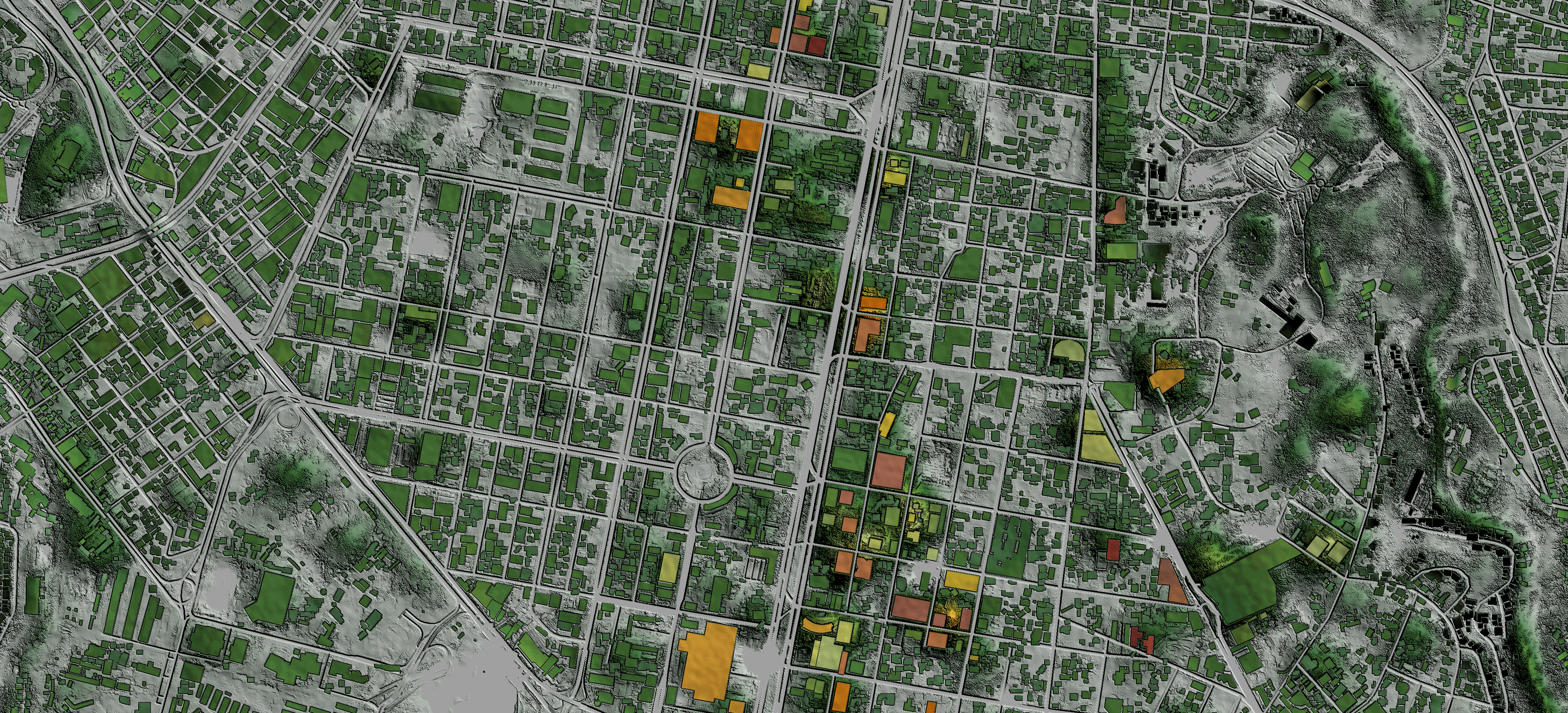
High-Resolution. Using NEXTMap One™ data, details such as building models and clutter are available at 1-meter resolution anywhere on the globe
Low-Cost. Get unlimited access to the information you need for a low monthly subscription
Cloud-Based API. Quickly access needed information or incorporate into your workflows
Bundled. Combine analytics with direct data availability to get quick answers and work with your RF planning software
Intermap participated in a webinar hosted by our partner, UP42. Nathan Mercer, a Software Engineer at Intermap, presented The Versatility of Viewsheds for Line-of-Sight Analysis. Other presenters included AiDash, which presented about using satellite data for vegetation management, and Catalyst, which presented about monitoring ground deformation along 1000s of kilometers of infrastructure. Check out the webinar replay to learn how remote sensing can be a replacement for ground-based infrastructure monitoring.
Intermap’s analytics offer instant access to detailed line-of-sight simulations.


Perform your own modelling and analysis using our global 1-meter and 6-meter resolution datasets.