DSM
DTM
Hillshade
Contours
Flood Model
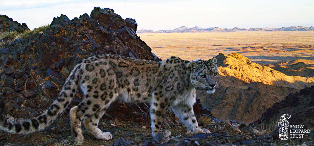
Intermap is supporting The Snow Leopard Trust with a snow leopard conservation project in Southern Mongolia. The Snow Leopard Trust is researching whether snow leopards stay longer at kill sites in rugged terrain, which offer better escape routes and hiding places, to better understand their movement and what threatens the species. Intermap’s NEXTMap 6™ digital elevation model was used to run analysis along with the GPS tracking data from snow leopard tracking collars to follow their movement and determine if terrain ruggedness affects the amount of time they spend at kill sites. Originally using a 30-meter resolution DEM, the results were unclear because cliffs, hills and other terrain are not well represented in a coarse DEM.
The preliminary results using Intermap’s 6-meter resolution DEM suggest that terrain did affect snow leopard behavior around kill sites. The researchers found that snow leopards stayed longer at the kill sites of their largest prey when the kills were made in rugged terrain. This study will help The Snow Leopard Trust gain more insight into the patterns of snow leopards and develop ways to help conserve the species.