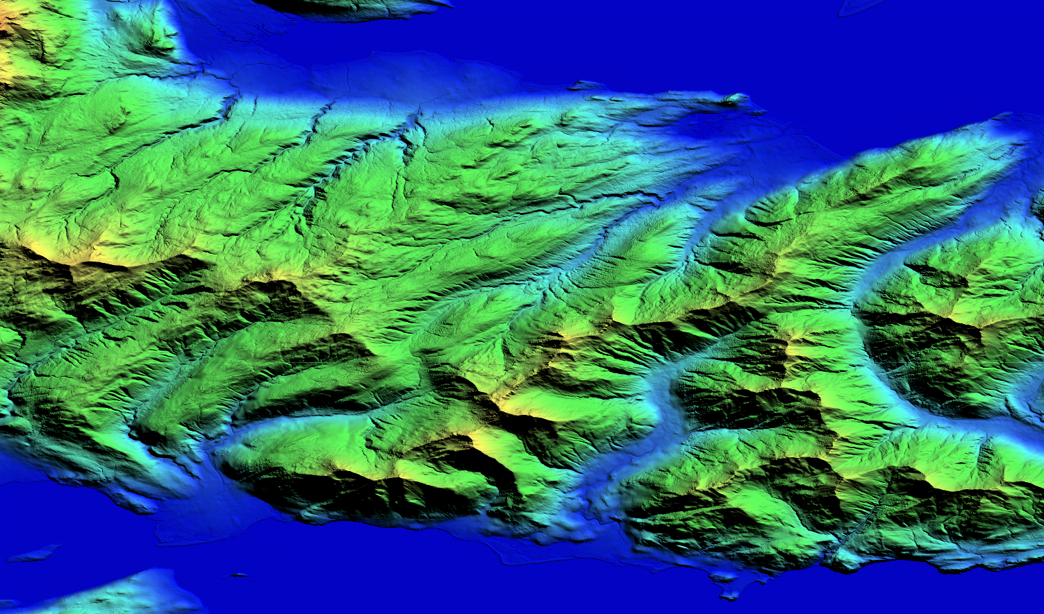
Kodiak DTM

NEXTMap® Elevation Data

Foundation Data for Solving Location-Based Problems

Elevation Data to Suit Your Needs

Intermap’s 3D foundation data layers provide a robust framework for governments and businesses, empowering them to make informed decisions and discover intelligent solutions for their planning challenges. Our NEXTMap elevation data suite is produced through patented processing, incorporating AI and machine learning techniques, to create globally available digital elevation models. NEXTMap is available up to 1-meter resolution, providing the market with one of the world’s most comprehensive, homogenous and precise elevation products at global scale.
Superior Value

  • Global Coverage – Data is available anywhere in the world
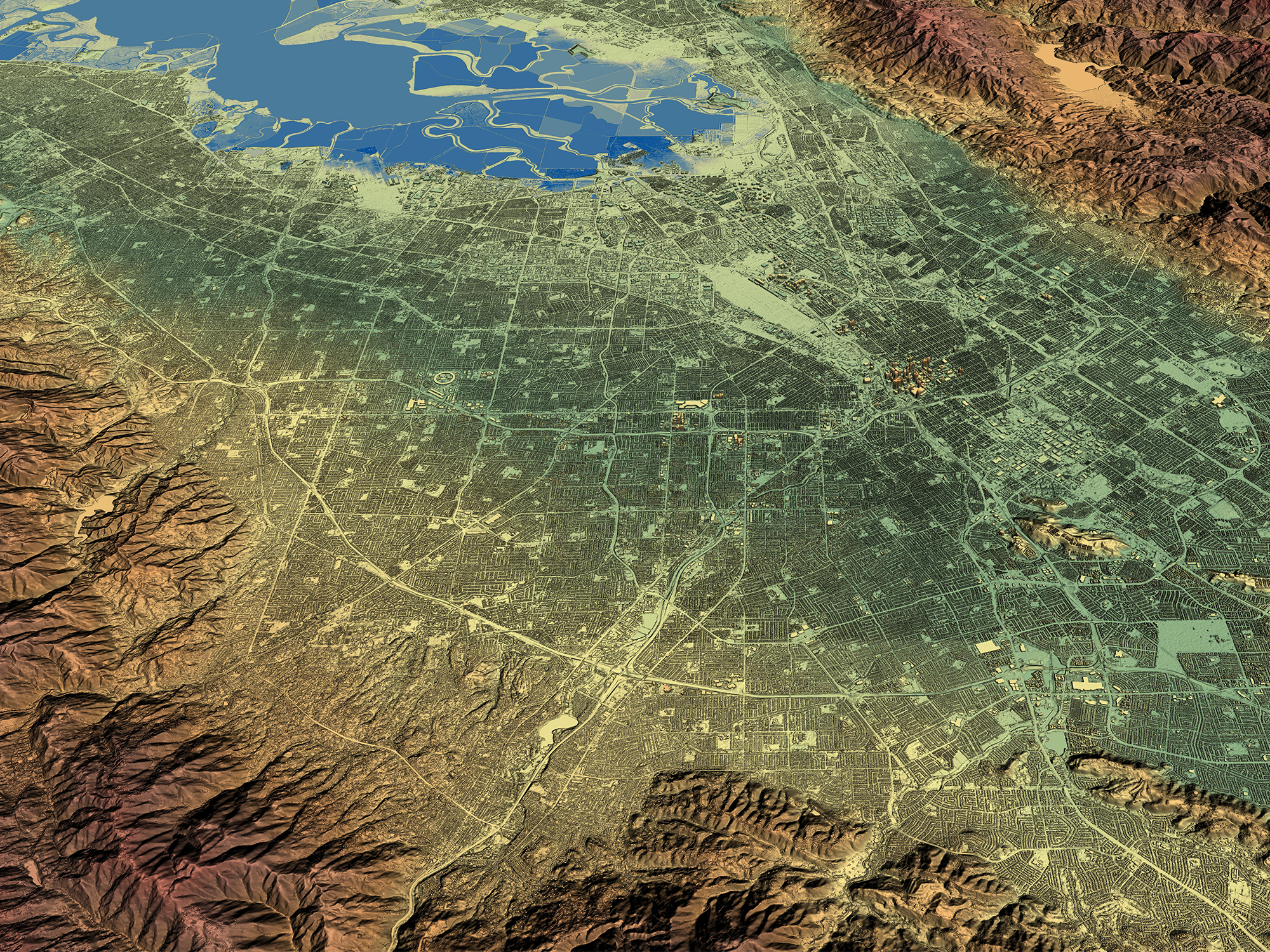
  • Rich Features & Bare Earth Models – Options include natural terrain feature digital surface model (DSM) and bare-earth digital terrain model (DTM)
  • Hydro Enforced – Water bodies and coastlines are flattened and corrected for accurate measurement with our premium hydro option
  • Seamless Dataset – Seamless coverage free of voids, seamlines or spikes
  • Reliable & Cost Effective – Data fusion services support the use of high-resolution data in high-value areas, like cities or flood plains, while providing wider area coverage from medium-resolution datasets
  • Convenient Access – Datasets are available through our Data Store or API

demblog1---Header01

Elevation-Derived Layers

In addition to creating baseline and custom elevation content, we create products that derive from elevation content, including normalized DSMs, slope and aspect maps, hillshade, contours, topographic maps, flood models and hazard maps for anything from earthquakes to landslides. Our DEMs are also suitable for extraction of drainage network and hydrology data, 3D roads, infrastructure models and vegetation information.
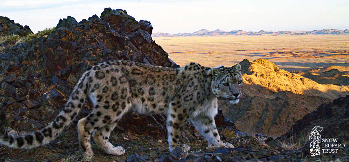
Intermap Supports Conservation of the Snow Leopard in Mongolia

Snow-leopard-in-Tost-web

Intermap is supporting The Snow Leopard Trust with a snow leopard conservation project in Southern Mongolia. The Snow Leopard Trust is researching whether snow leopards stay longer at kill sites in rugged terrain, which offer better escape routes and hiding places, to better understand their movement and what threatens the species. Intermap’s NEXTMap 6™ digital elevation model was used to run analysis along with the GPS tracking data from snow leopard tracking collars to follow their movement and determine if terrain ruggedness affects the amount of time they spend at kill sites. Originally using a 30-meter resolution DEM, the results were unclear because cliffs, hills and other terrain are not well represented in a coarse DEM.

The preliminary results using Intermap’s 6-meter resolution DEM suggest that terrain did affect snow leopard behavior around kill sites. The researchers found that snow leopards stayed longer at the kill sites of their largest prey when the kills were made in rugged terrain. This study will help The Snow Leopard Trust gain more insight into the patterns of snow leopards and develop ways to help conserve the species.

Additional Services and Analytics

Profile. Accurate point-to-point terrain profiles anywhere in the world. Profiles can be run over either a DSM or DTM with features, such as buildings and tress, removed. Profiles consist of 3,000 points over any distance across a city or across an entire continent.
Viewshed. Perform visibility analysis from 1km to 100km in radius, clearly showing obstructions. Viewsheds can be run over either a DSM or DTM with features, such as buildings and trees, removed.
Point Values. Fast results for up to 20 locations at a time, showing height above sea level, height of vegetation, land cover, slope, and aspect.
Clutter/Land Classification. Streamlined land classification shows colorized profile and includes both clutter type and height. Clutter type information is classified into categories including bare earth, light and heavy vegetation, urban, roads, and water.
Contour Maps. Contour maps show an alternative view of our DTM data, providing a visual aid to elevation identification, slope indication, or to create detailed maps. Contours are available off-the-shelf at 10m intervals, but custom contours can be created for your area of interest (AOI).
Data Fusion. Intermap brings multiple datasets, of differing resolutions and specifications, together in one homogenous layer – effectively managing resources by providing high-resolution data in high-value areas such as cities, corridors and critical flood plains, while providing wider area coverage from medium- or lower-resolution sources.
Global Mapper. Prefer to view terrain data in Blue Marble's Global Mapper? Watch this video to learn how to connect to NEXTMap data in Global Mapper. Get subscription information here.

Specifications

Coverage
Global
Product Type
DSM, DTM
Collection Method
Spaceborne (1m, 6m, 10m), Airborne (1m, 5m)
Date
Varies by region, archive datasets and current, continually updated datasets available
Posting
Up to 1m
Vertical Accuracy (LE90)
Up to 1m (depending on area)
Horizontal Accuracy (CE90)
Up to 3.5m (depending on area)
Compatibility
Fully compatible and tested with 100s of GIS applications, engineering tools, design tools and 3D visualization
Applications
3D visualization, detailed analysis, geological mapping, watershed analysis, emergency response, orthorectification, cartography, engineering, forestry, strategic planning, national maps, cartography