Does your wildfire model include ember zones? It should.

Posted by Ivan Maddox on Mar 31, 2015 10:34:15 AM

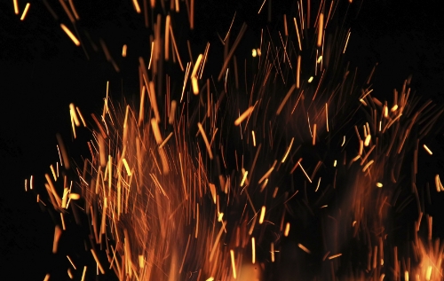
Here in Colorado, where Intermap is based, one of the most dramatic fires in recent memory was the Waldo Canyon fire, which engulfed some of the western suburbs of Colorado Springs in 2012. It was an intense wildfire that stormed down the front range incredibly fast and consumed almost 350 homes. However, most of those houses weren’t behind the fire-line — they were ignited by embers blown by the same winds that blew the fire down the mountains.

Read More

Topics: Natural Hazard Risk, Wildfire, Other Risk Models

Burning Issues in Wildfire Management

Posted by Michael Wollersheim on Jan 28, 2015 10:57:00 AM

This post proudly features guest writer Michael Wollersheim, geomatics scientist and lead engineer at Intermap Technologies.

In the preceding three years, I have had the great pleasure of attending some of the foremost conferences on wildland fire hosted by organizations like the National Fire Protection Association (NFPA) and the International Association of Wildland Fire (IAWF). I have also been fortunate to have the opportunity to visit the world-class Missoula Fire Sciences Laboratory at the Rocky Mountain Research Station to speak with some of the leading researchers in this complex field of science, economics, and politics.

Read More

Topics: Natural Hazard Risk, Risk Management, Wildfire, Other Risk Models

The Risks of Hazard Blog   rss-feed

Welcome to The Risks of Hazard, brought to you by Intermap Technologies®. From the latest industry news and trends, to insight from thought leaders around the globe, stay tuned for a variety of content aimed at helping you better understand the role of location-based intelligence in the world of insurance underwriting and risk assessment.

To see how Intermap delivers analytics tailored to your underwriting, visit our InsitePro page.

Subscribe to the Risks of Hazard blog!